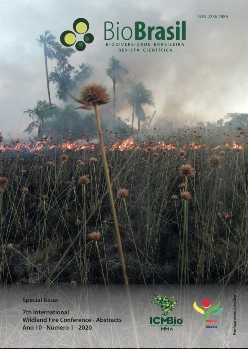
Wildfire recurrence at Quilombola Kalunga territory (GO)
DOI:
https://doi.org/10.37002/biodiversidadebrasileira.v10i1.1549Palavras-chave:
wildfire, burnt outbreaks, geotechnologies, management, CerradoResumo
Kalunga Historical Site and Cultural Heritage was stablished by the law n°11.409/GO and regularized as Territory in federal scope in 2009. Its total area comprises three Goiás municipalities: Monte Alegre de Goiás, Teresina de Goiás e Cavalcante. Likewise, remnants of quilombola communities, which are "social groups that developed unique characteristics of land occupation, social, productive and religious organization throughout Brazilian historical formation" (LIMA,2012, p. 1), inhabit it. Due to being a protected area with restricted use, there is a significant amount of remnant vegetation, with large natural fuel disponibility. The practices of burning fields, among other communityowned fire uses, considerably potentialize the wildifre occurence, what makes the understanding of the wildfire phenomenom, its dynamics and main occurence and spreading causes in Kalunga Territory necessary. Studies which seeks the interaction of social aspects with the physical characteristics of the examined area's vegetation to mitigate and pre-empt environmental impacts are of paramount importance, focusing on geotechnology use for planning and fire fighting. The present Territory has expressive biologically, scenically, economically and socially relevant areas, which gives it a huge importance to the society and, mainly, to the traditional communities whose cultures are inserted within this environment. Therefore, it is sought to realize a(n) study/analysis about the occurence and recurrence of wildfires at the Quilombola Kalunga Territtory from Goiás between 2009 and 2019. For such purpose, there is going to be made a literature review on this theme, use of geotechnological tools and informations disposed at the "wildfire data bank" of the National Space Survey Institute (INPE), such as burnt outbreaks and burnt areas. These data are going to be supplemented with medium and high quality satellite images. This article is part of the "Development of the wildfire risk predictive model to the Quilombola Kalunga Territory (GO)" project, resulted by a partnership between CNPq and Prevfogo-Ibama. It is sought to assist the present fires diagnosis at the Territory and help with its management. Besides, the obtained results will contribute with environmental sensibility actions in Territory communtities.
Downloads
Downloads
Publicado
Edição
Seção
Licença
Copyright (c) 2020 Biodiversidade Brasileira - BioBrasil

Este trabalho está licenciado sob uma licença Creative Commons Attribution-NonCommercial-NoDerivatives 4.0 International License.
Os artigos estão licenciados sob uma licença Creative Commons Atribuição-NãoComercial-SemDerivações 4.0 Internacional (CC BY-NC-ND 4.0). O acesso é livre e gratuito para download e leitura, ou seja, é permitido copiar e redistribuir o material em qualquer mídia ou formato.


