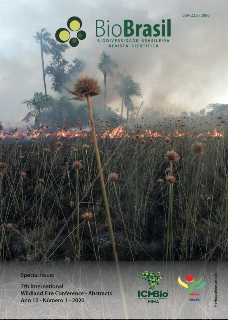
Fire patterns in the Brazilian Cerrado
an approach comparing different input datasets in the fire risk modelling
DOI:
https://doi.org/10.37002/biodiversidadebrasileira.v10i1.1563Palavras-chave:
Fire modelling, fire season, savannas, Brazil, land useResumo
Emissions from vegetation fires are relevant in the atmosphere-biosphere interaction. Nevertheless, fire is still intensely used as a tool in land management, modifying natural fire patterns in fire-prone ecosystems. The Brazilian Cerrado has shown increased anthropogenic fire ignitions, especially due to deforestation that removed ~50% of its original cover and unusual droughts. Fire risk (FR) models using meteorological and vegetation parameters have been used to estimate fire patterns at biome level. The aim of this study was to evaluate the performance of INPE's FR model using different climate and land cover (LC) datasets (versions 0 and 1) to estimate FR patterns in the Cerrado. Meteorological datasets from CoSch and MCD12Q1-IGBP V006 land cover data represent v0 while v1 is composed by IMERG and Mapbiomas v3.0 datasets. The analyses were performed in the wet (W: November-March) and dry (D: May-September) seasons from 2015 to 2018 at 1km of spatial resolution. The versions were compared using the seasonal predominance of FR (PFR) and evaluated in five categories: "minimum", FR<=0.15; "low", 0.15<FR<=0.40; "medium", 0.40<FR<=0.70; "high", 0.70<FR<=0.95 and "critical", 0.95<FR<=1.0. The main fire pattern differences between v0 and v1 were observed in D, when the PFR remains "high" during all season according to v0, while v1classifies "critical" PFR from July to September. In W, differences were not observed, except for November, classified as "low" PFR by v0 and "minimum" PFR in v1. These differences can be related to the higher LC spatial resolution and definition of vegetation types in v1 such as woody savannas; v1 is based on Landsat medium resolution spectral images (~30m) while v0 uses MODIS low resolution (~500m). Concerning precipitation, the information has a higher spatial consistency using 10 km of spatial resolution in v1 while v0 uses 25 km of spatial resolution. With new Mapbiomas editions and revisions released every year, INPE's FR will be updated accordingly, allowing a realistic temporal modeling of the vegetation; including terrain data in this condition will allow a new FR product at 30m resolution for protected areas - our next goal.
Downloads
Downloads
Publicado
Edição
Seção
Licença
Copyright (c) 2020 Biodiversidade Brasileira - BioBrasil

Este trabalho está licenciado sob uma licença Creative Commons Attribution-NonCommercial-NoDerivatives 4.0 International License.
Os artigos estão licenciados sob uma licença Creative Commons Atribuição-NãoComercial-SemDerivações 4.0 Internacional (CC BY-NC-ND 4.0). O acesso é livre e gratuito para download e leitura, ou seja, é permitido copiar e redistribuir o material em qualquer mídia ou formato.


