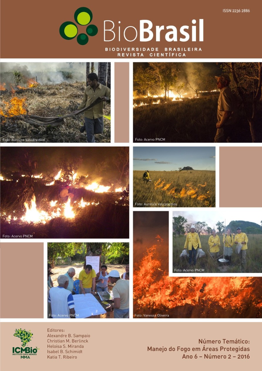
Zoneamento do risco de incêndio florestal para o Parque Nacional de São Joaquim-SC
DOI:
https://doi.org/10.37002/biodiversidadebrasileira.v6i2.442Keywords:
biodiversity, geographic information system, map algebraAbstract
Forest fires are a daily concern of protected areas managers such as in São Joaquim National
Park (SJNP). Situated in the state of Santa Catarina, it protects the largest continuous area of Araucaria
Forest of Brazil, and also includes areas with altitudinal fields and rain forest. The aim of this work was to prepare a forest fire risk zoning by integrating the following variables of influence: land slope, orientation
of slopes, prevailingwinds, vegetation, load of combustible material and human interference consolidated,
using a geographic information system (GIS). The slope and orientation of the slopes were extracted from the
digital terrainmodel (DTM). The prevailing winds were identified from the analysis of monthly meteorological
records and their relations with precipitation, relative humidity and mean air temperature. The vegetation
coverage was obtained through supervised classification of images RapidEye. Load of combustible material
was obtained from bibliographic data, and also by mathematical models. The consolidated human
interference was characterized by the radius of influence (buffers) estimated for the infrastructure. The slope
analysis indicated that 7% of the area is under extreme risk of fires. As for the orientation of the slopes, it
was observed that 32% of the total PNSJ area is ofvery high (face N) and extreme risks (faces NW and W).
In relation to the prevailing winds it was observed that 32% of the total area are influenced by winds with
drier features, indicating extreme risk. Considering the vegetation, 39% of the area were classified as high
risk, very high risk and extreme risk. For the load of combustible material, less than 1% of the area showed
high risk. As the human presence in the region, 8% of the area proved under some kind of influence (ex.
highways, burned areas, houses and recreation areas). A zoning risk of fire was produced by overlapping
thematic maps of the variables - it was concluded that 39% of the area is under high risk, and 7% under
extreme risk. The administration of PNSJ and of other similar areas must monitor these critical areas and
propose measures to prevent the occurrence of fires.
Downloads
References
Alarcon, G. G. & Silva, E.H. 2006. Mapeamento e caracterização da cobertura vegetal e uso do solo do Parque Nacional de São Joaquim - SC. Revista Discente Expressões Geográficas, 3: 121-141.
Assis, F.R.V.; Mendonça, I.F.C.; Silva, J.E.R. & Lima, J.R. 2014. Uso de geotecnologias na locação de incêndios florestais no semiárido nordestino. Revista Floresta, 44(1): 133-142.
Batista, A.C. 2000. Mapas de risco: uma alternativa para planejamento de controle de incêndios florestais. Revista Floresta, 30: 45-54.
Beutling, A. 2005. Caracterização para modelagem de material combustível superficial em reflorestamento de Araucaria angustifólia (Bert.) O.Ktze. Dissertação (mestrado em Engenharia Florestal). Universidade Federal do Paraná. 113p.
Brasil, 2000. Lei nº 9.985, de 18 de julho de 2000. Sistema Nacional de Unidades de Conservação da Natureza (SNUC). Presidência da República.
Castañeda, A. 1997. Zonificacion para el manejo de incendios en plantaciones forestales en Colombia. Boletin de Protección Forestal, n° 2. Colombia.
Chuvieco, E. & Congalton, R.G. 1989. Application of remote sensing and geographic information systems to forest fire hazard mapping. Remote Sensing of Environment, 29: 147-159.
Ferraz, S.F.B & Vettorazi, C.A. 1998. Mapeamento de risco de incêndios florestais por meio de Sistema de Informações Geográficas (SIG). Scientia Forestalis, 53: 39-48.
Gonçalves, A.B.; Vieira, A.; Leite, F.F. & Lourenço, L. 2012. Mudanças climáticas e risco de incêndio florestal no Ave (Noroeste de Portugal). Revista Geonorte. Edição Especial, 1(4): 830-842.
Hendrix, C. & Coen, J. 2001. New techniques seek to extinguish wildfire risks. Imaging Notes. Colorado. USA.
McArthur, A.G. 1962. Control burning in eucalypt forests. Canberra: Commonwealth of Australia Forestry and Timber Bureau. Canberra. Austrália.
Oliveira, D. dos S. 2002. Zoneamento de risco de incêndios em povoamentos florestais no norte de Santa Catarina. Dissertação (Mestrado em Ciências Florestais) - Setor de Ciências Agrárias, Universidade Federal do Paraná. 113 p.
Pereira, A.C.; Angelocci, L.R. & Sentelhas, P.C. 2002. Agrometereologia: fundamentos e aplicações práticas. Livraria e Editora Agropecuária, Guaíba. 478 p.
Pyne, S.J. 1984.Introduction to wildland fire: fire management in the United States. 2 ed. John Wiley & Sons Inc. 480 p.
Soares, R.V. & Batista, A.C. 2007. Incêndios florestais: controle, efeitos e uso do fogo. Os Editores, 264 p.
Tomzhinski, G.W.; Coura, P.H.F. & Fernandes, M. C. 2011. Avaliação da detecção de focos de calor por sensoriamento remoto para o Parque Nacional do Itatiaia. Biodiversidade Brasileira, 1(2): 201-211.
Wang, H.H.; Wonkka, C.L.; Grant, W.E. & Rogers, W.E. 2016. Range expansion of invasive shrubs: implication for crown fire risk in forestlands of the southern USA. The open-access journal plants sciences. Disponível em www.aobplants.oxfordjournals.org, acessado em 22/05/2016. Oxford University Press. England. 14 p.
Downloads
Published
Issue
Section
License
Copyright (c) 2021 Biodiversidade Brasileira - BioBrasil

This work is licensed under a Creative Commons Attribution-NonCommercial-NoDerivatives 4.0 International License.
Os artigos estão licenciados sob uma licença Creative Commons Atribuição-NãoComercial-SemDerivações 4.0 Internacional (CC BY-NC-ND 4.0). O acesso é livre e gratuito para download e leitura, ou seja, é permitido copiar e redistribuir o material em qualquer mídia ou formato.


